gpt-4o
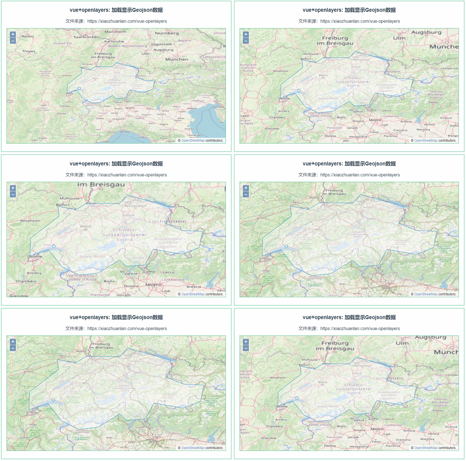
GeoJSON是一种基于JSON(JavaScript Object Notation)的格式,用于编码地理数据。它被广泛应用于地理信息系统(GIS)和Web地图应用程序中。GeoJSON支持各种地理数据类型,包括点(Point)、线(LineString)、面(Polygon)以及这些类型的集合。以下是对GeoJSON格式的详细说明:
主要结构
FeatureCollection
这是GeoJSON的顶级对象,包含一组地理要素(Feature)。
{
  "type": "FeatureCollection",
  "features": [
    {
      "type": "Feature",
      "geometry": {
        "type": "Point",
        "coordinates": [102.0, 0.5]
      },
      "properties": {
        "name": "Example Point"
      }
    },
    {
      "type": "Feature",
      "geometry": {
        "type": "LineString",
        "coordinates": [
          [102.0, 0.0],
          [103.0, 1.0],
          [104.0, 0.0],
          [105.0, 1.0]
        ]
      },
      "properties": {
        "name": "Example LineString"
      }
    }
  ]
}
Feature
表示一个地理要素,包含几何数据和属性数据。
{
  "type": "Feature",
  "geometry": {
    "type": "Point",
    "coordinates": [102.0, 0.5]
  },
  "properties": {
    "name": "Example Point"
  }
}
Geometry
表示地理形状。支持以下几何类型:
- Point: 一个点
- LineString: 一条线
- Polygon: 一个面
- MultiPoint: 多个点
- MultiLineString: 多条线
- MultiPolygon: 多个面
- GeometryCollection: 一个几何对象集合
Point
{
  "type": "Point",
  "coordinates": [102.0, 0.5]
}
LineString
{
  "type": "LineString",
  "coordinates": [
    [102.0, 0.0],
    [103.0, 1.0],
    [104.0, 0.0],
    [105.0, 1.0]
  ]
}
Polygon
{
  "type": "Polygon",
  "coordinates": [
    [
      [100.0, 0.0],
      [101.0, 0.0],
      [101.0, 1.0],
      [100.0, 1.0],
      [100.0, 0.0]
    ]
  ]
}
MultiPoint
{
  "type": "MultiPoint",
  "coordinates": [
    [100.0, 0.0],
    [101.0, 1.0]
  ]
}
MultiLineString
{
  "type": "MultiLineString",
  "coordinates": [
    [
      [100.0, 0.0],
      [101.0, 1.0]
    ],
    [
      [102.0, 2.0],
      [103.0, 3.0]
    ]
  ]
}
MultiPolygon
{
  "type": "MultiPolygon",
  "coordinates": [
    [
      [
        [102.0, 2.0],
        [103.0, 2.0],
        [103.0, 3.0],
        [102.0, 3.0],
        [102.0, 2.0]
      ]
    ],
    [
      [
        [100.0, 0.0],
        [101.0, 0.0],
        [101.0, 1.0],
        [100.0, 1.0],
        [100.0, 0.0]
      ]
    ]
  ]
}
GeometryCollection
{
  "type": "GeometryCollection",
  "geometries": [
    {
      "type": "Point",
      "coordinates": [100.0, 0.0]
    },
    {
      "type": "LineString",
      "coordinates": [
        [101.0, 0.0],
        [102.0, 1.0]
      ]
    }
  ]
}
属性数据
每个Feature对象可以包含一个properties对象,用于存储与几何对象相关的属性数据。
{
  "type": "Feature",
  "geometry": {
    "type": "Point",
    "coordinates": [102.0, 0.5]
  },
  "properties": {
    "name": "Example Point",
    "description": "This is an example point."
  }
}
以上是GeoJSON格式的详细说明。它结构简单、易于阅读和解析,特别适用于Web应用程序中的地理数据展示和交互。

















![Bubble Cup 13 - Finals [Online Mirror, unrated, Div. 2] --- G. Years (DSmap)](https://i-blog.csdnimg.cn/direct/2de65b81838d40d3992592678074da0f.png)

